Country loop
Description

An 86-kilometre loop through the Broye countryside, Gros-de-Vaud and Jorat: rural landscapes and quiet roads that will charm sports enthusiasts.
Starting point is the medieval town of Moudon, which can easily be reached by train. A few kilometres of warm-up in the Broye plaine await you before climbing towards Villars-le-Comte.
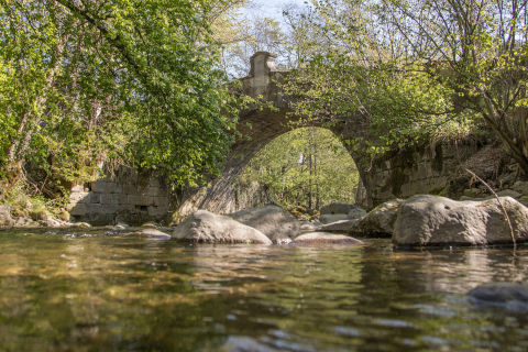
Before Bercher, a nice descent through the forest takes you to the charming Menthue valley and its cliffs. You then cross the Gros-de-Vaud on quiet and easy roads to Cugy. Enjoy the magnificent view of the Alps! Then you enter the Jorat woods to start the climb to Chalet-à-Gobet. At an altitude of almost 900 metres, this place, well known to the people of Lausanne, is the highest point of the loop.
To get back to Moudon, you have (almost) only a descent. On the way, you will pass by the zoo and the Tropiquarium of Servion and finish with a few kilometres along the banks of the Broye.
Point of interest

- Distance : 86km
- Length : 10h
- Start : Moudon
- End : Moudon
- Difficulty :
- Height difference : 1398m
Download
Information
-
Moudon Région Tourisme
Grand-Rue 27
1510 Moudon
+41 21 905 88 66
- tourisme@moudon.ch